

I’m the type of person who keeps their forehead glued to airplane windows during takeoffs and landings. I love the conflicting feelings that seeing the world from several thousand feet up elicit. On one hand, capturing an entire city with a single glance feels almost god-like. On the other, knowing that my home is just one of the countless roofs stretching out in all directions makes me feel insignificant.
I also like to scan the Bay for whales, although I have yet to spot one from the air.
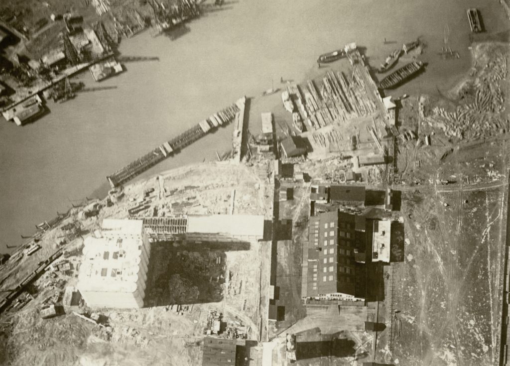
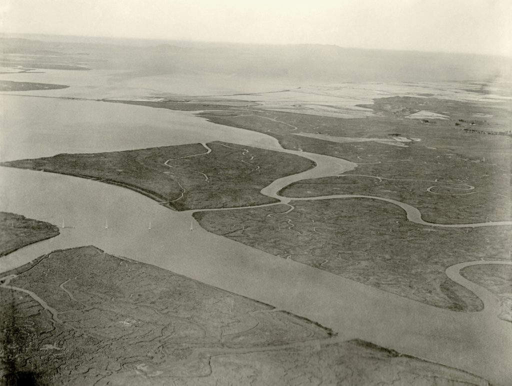
When Stanley Page (1885-1964) would look down at the Bay from his custom-built “flying boat,” he didn’t have a window to press his forehead against, because the aircraft didn’t have any. The pioneering aviator would simply lean out of the cockpit, swing his camera over the side, and snap away. Page was a local engineer who was inspired to create his own aircraft after witnessing the Wright brothers demonstrating their “flying machine” during a tour of Europe. While working at Oakland’s Union Gas Engine Company, he realized this dream by designing a lightweight six-cylinder aero engine and attaching it to a plane that could take off and land in the water.
Now, about a century after they were originally taken, the photos that resulted from Page’s adventurous journeys are currently on display at the SFO Museum. “Above the Bay: The Aerial Photography of Stanley Page” reveals a Bay Area that’s simultaneously familiar and foreign. Despite lacking the now-iconic Golden Gate and Bay bridges (as well as other prominent man-made landmarks like Treasure Island), the major contours of the shoreline and certain elements of the cityscape are unmistakable. Oaklanders will instantly recognize a cluster of historic buildings in the vicinity of Ogawa Plaza that are now in the process of being dwarfed by highrise construction. It almost feels like looking at Google Maps through a time machine. I could stare for hours…

Stanley Page’s descendent Charles Page donated the original prints and glass plate negatives to the The San Francisco Airport Commission Library and Louis A. Turpen Aviation Museum in 2010. The “Above the Bay” exhibit will be on display through July 12, 2020. The museum is located in SFO’s international terminal before the security screening zone, so a boarding pass is not required to visit. All images on this web page (with the exception of the Key Route Pier postcard) used with permission of the SFO Museum.


East Bay Yesterday can’t survive without your support. Please donate to keep this project alive: www.patreon.com/eastbayyesterday

